This map can be vital for expecting the unexpected
- Access to relevant and updated information about the environment is important for prudent decision-making, says Ragnvald Larsen from the Norwegian Environment Agency.
An environmental sensitivity atlas is an interactive tool that displays coastal areas sensitive to external influences. If an oil spill happens, the consequences could depend on how well prepared the emergency response units are.
In Tanzania, an atlas like this is under development. The Norwegian Environment Agency contributes to the atlas by sharing their expertise through the Oil for Development programme.
Making an overview
Along the coast of Tanzania, offshore exploration drilling for oil and gas can happen as close as 10-100 kilometres from the Tanzanian coastline. The waters have a depth of between 300 and 3000 meters.
In the case of a possible oil spill, currents can easily force the oil to hit landfall at coastal sites within the first 20 hours. In some cases in less time.
The atlas gives an overview of sensitive areas along the coast. If an oil spill should happen, emergency response systems could quickly prioritize the most sensitive areas.
- Our contribution to a coastal environmental sensitivity atlas is first and foremost about supporting our partner institution, National Environmental Management Council (NEMC), in their effort to establish a coastal sensitivity atlas, says Larsen.
The atlas also provides information about baseline data that can be used for environment evaluations.
- Our work has focused on tools and methods to support collection, storage and dissemination of environmental information. To do this we have contributed to relevant infrastructure based on open source software, says Larsen.
Soon to be released
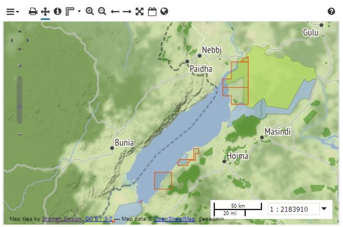
The development draws on experience from another partner country of OfD. Uganda successfully developed their first sensitivity atlas in 2010.
- We are now at a point in our work where we have the necessary infrastructure in place. We are well on our way to be able to present a coastal environmental atlas later this year. In 2017 we expect to use this data to do the necessary evaluations to establish a revised sensitivity atlas, says Larsen.
Challenges along the way
The new atlas in Tanzania will be based on an earlier petroleum industry led initiative for a Tanzanian sensitivity atlas under the name TANSEA.
Revising such a comprehensive set of maps is challenging work. Up to date information about the coastal environment needs to be required. Some of the data are also based on environmental surveys done decades ago.
A report from COWI mentions that it is necessary to establish and nurture initiatives to share environmental data according to existing standards. Coordination of environmental surveys in the coastal areas is a big challenge ahead of Tanzania.
- We are impressed with the work of our partners and acknowledge that our time, as well as their time, on this work is a limiting factor. The Norwegian Environment Agency will continue to contribute to OfD and our partner NEMC, says Larsen.
Newsletter from OfD
Sign up for the Oil for Development (OfD) Programme newsletter.
It presents reviews, strategic decisions and programme insight, and is edited by the OfD secretariat. The newsletter is free of charge and you can expect a letter quarterly.
To receive the newsletter, you need to register with an e-mail address in addition to first name, family name, country and organization. Your personal information collected is registered in a separate database, is not shared with others and will be deleted when you unsubscribe.